Show me around
Drop a pin where you are. Byway surfaces the byways, stops, and overlooks worth the detour, auto-ordered into the shortest loop — or tap Surprise me and let it pick.
Plan a loop near meYour maps app gets you there. Byway™ makes the journey worth it. Tell it where you’re going and how long you have. Get a scenic route built around what you love — and the stops you’d otherwise drive straight past.
From orbit to asphalt
Every road shown here is real.
All 863 of them — designated, signed, on record.
This one is East Steens.
The gold lights are verified lookouts.
Fly East Steens before you drive it. — 126 mi · 5 Scenic lookouts
Every navigation app solves one problem: arrival. So here is one real corridor driven twice on the same axis — once the way a maps app sees it, once the way Byway does.
There are 435,576 verified places out there. The fastest line was never built to show you one.
Every stop on this plan is open when you would reach it.ClearedThe rain lifted — Vista House is back on the plan.
The Historic Highway was America's first scenic road built for the automobile — 1913.
Pick a place and watch it snap a route of real, verified stops to real roads — then read why it chose them, the way the engine hands you a byway in the app.
Chosen because you favor coastal cliffs and quiet coves — the slow shoulder of Highway 1, not the fast lane inland.
Some travelers want waterfalls and mountain passes. Others want architecture, local food, hidden beaches, quiet towns. Byway shapes the drive around what matters to you — and it sharpens as you pick routes and linger at stops. Six signals go into every road it hands back. Yours comes first.
A preference vector that learns from every trip you start and every stop you linger on. Quiet, not creepy.
435,576 places, each traced to a real record before it ships. Zero hallucinations.
Redraws the day when the forecast moves. Not seasonal averages — minute-by-minute.
Resequences stops so you arrive when places are actually open. No closed-on-Tuesday museums.
When locals vouch, it counts most — Anini Beach made a Kauaʻi day because 47 locals backed it. Locals weighted first.
Every route opens in Google Maps, one tap — beside you, never captive. Our own turn-by-turn is coming.
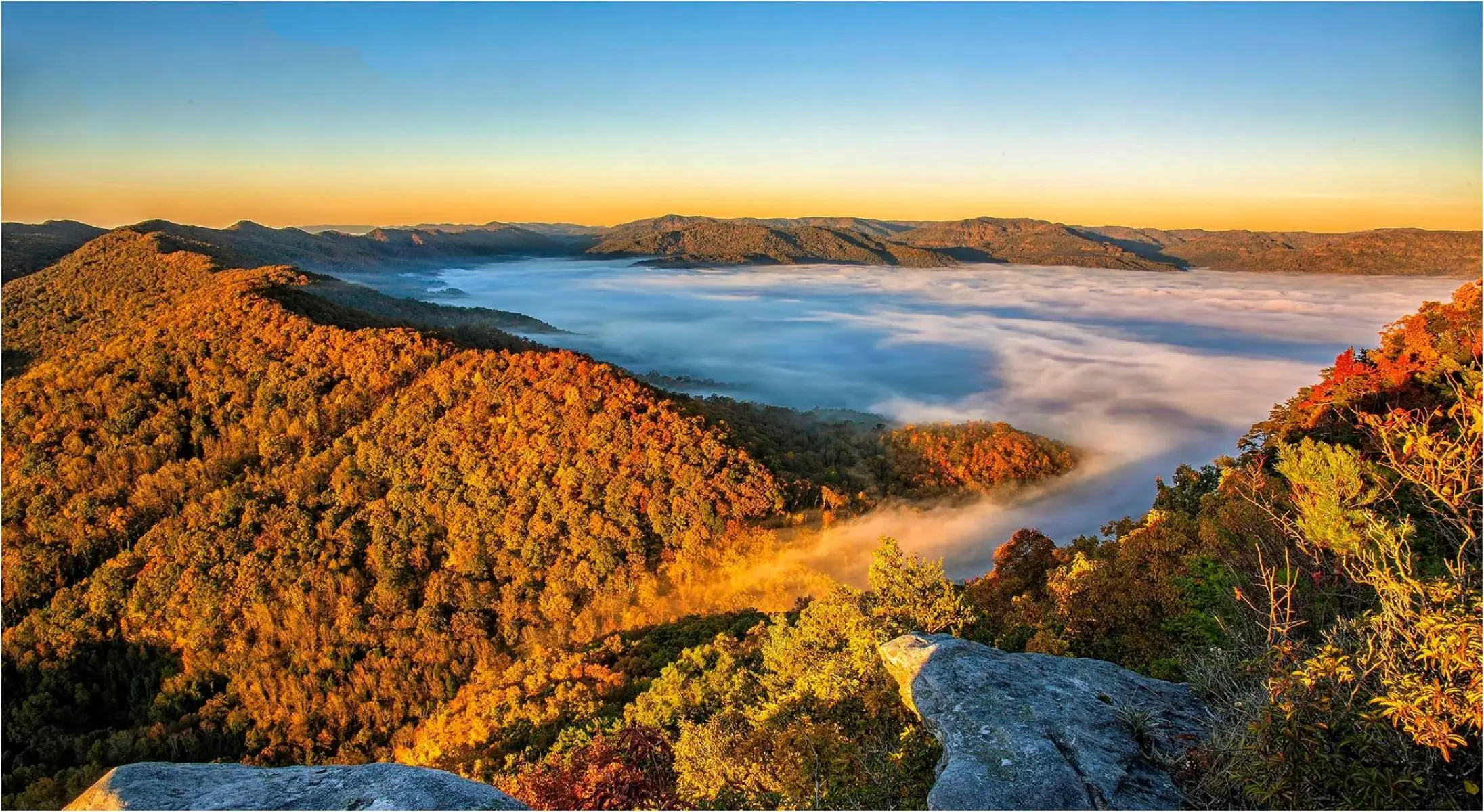
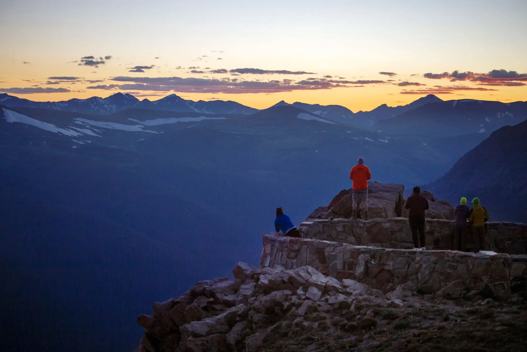
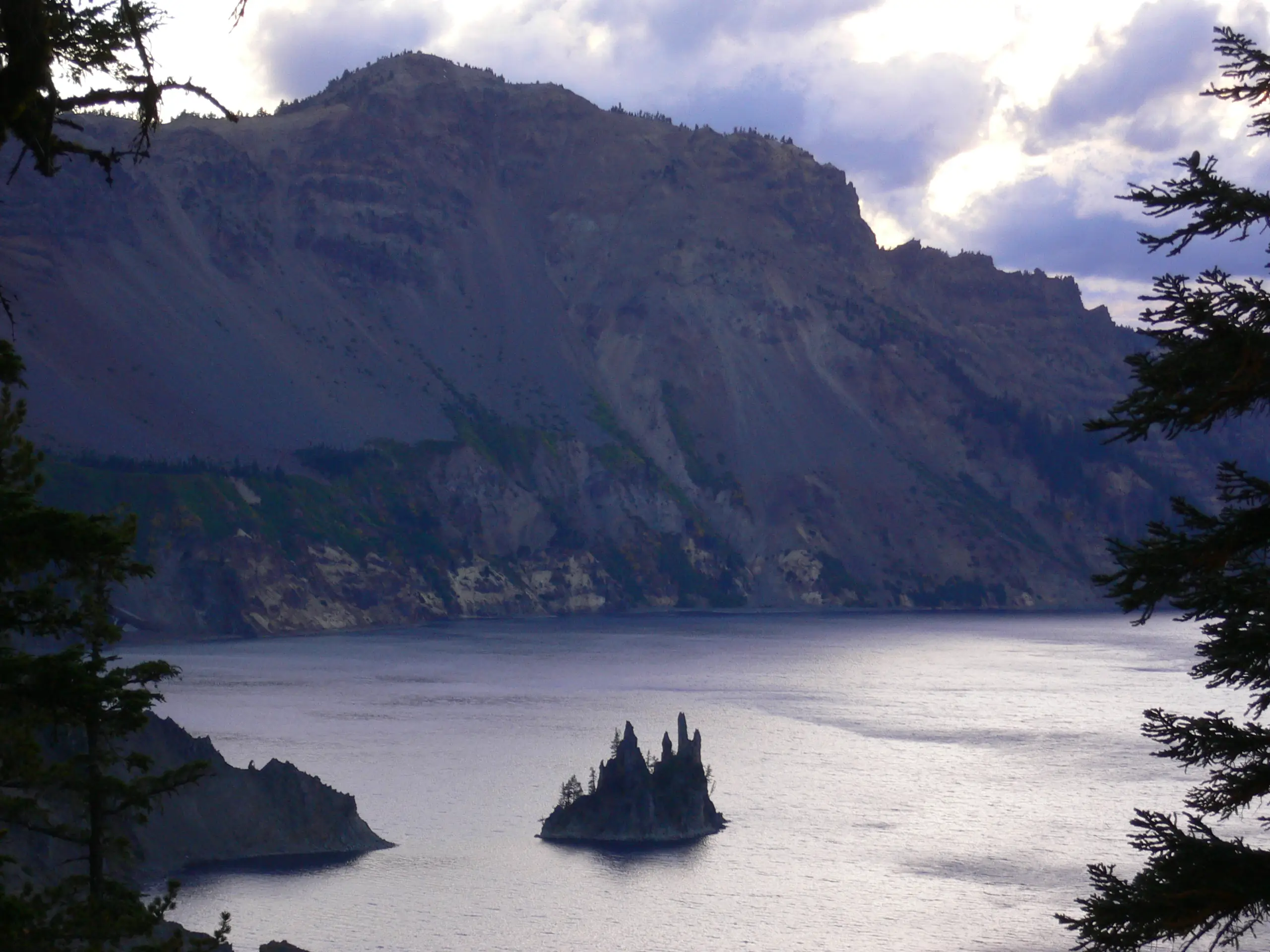
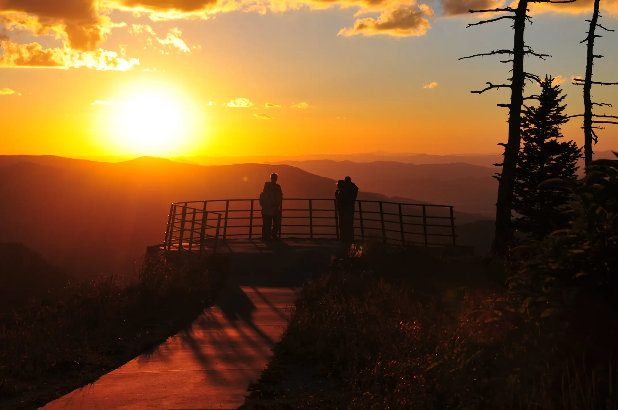
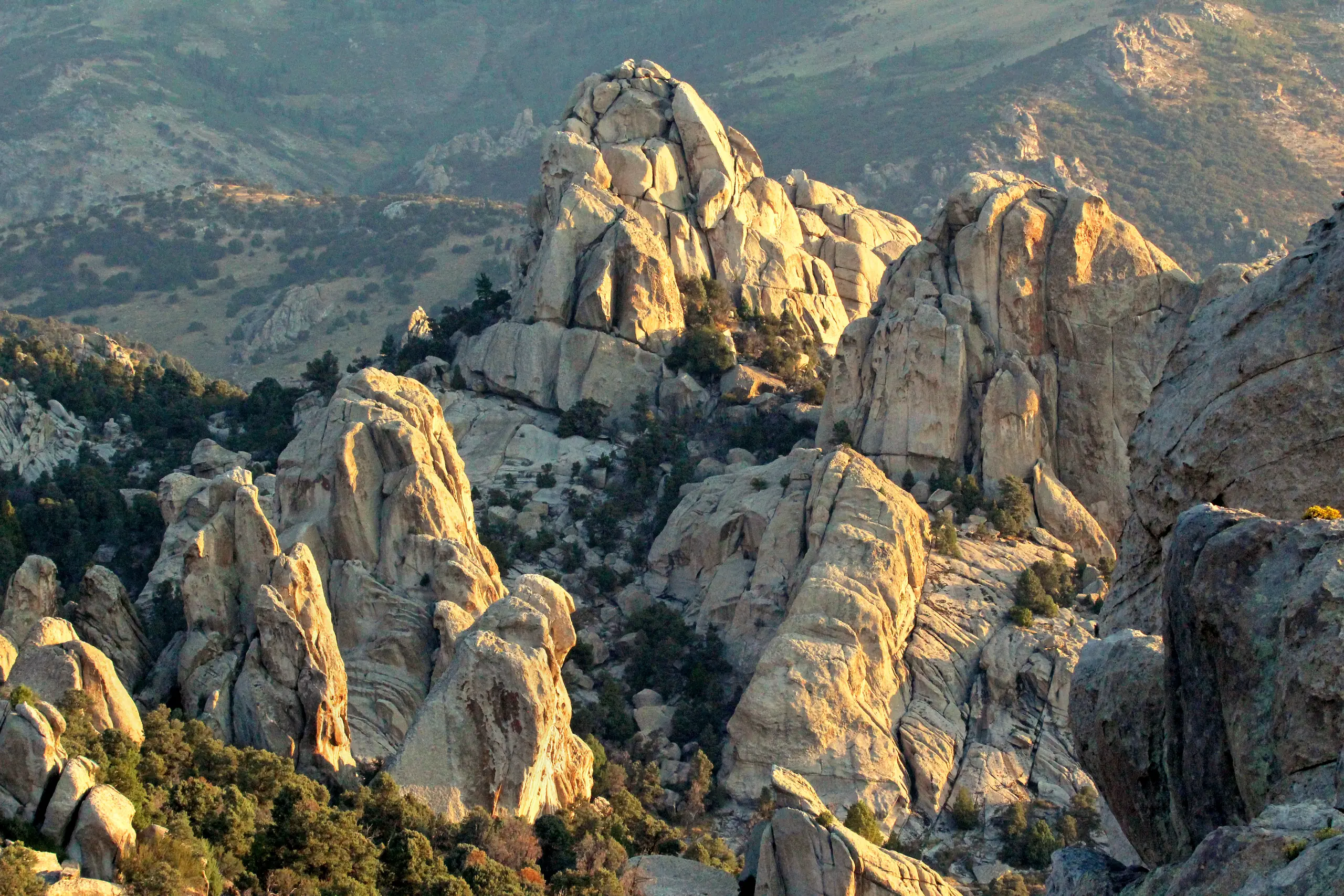
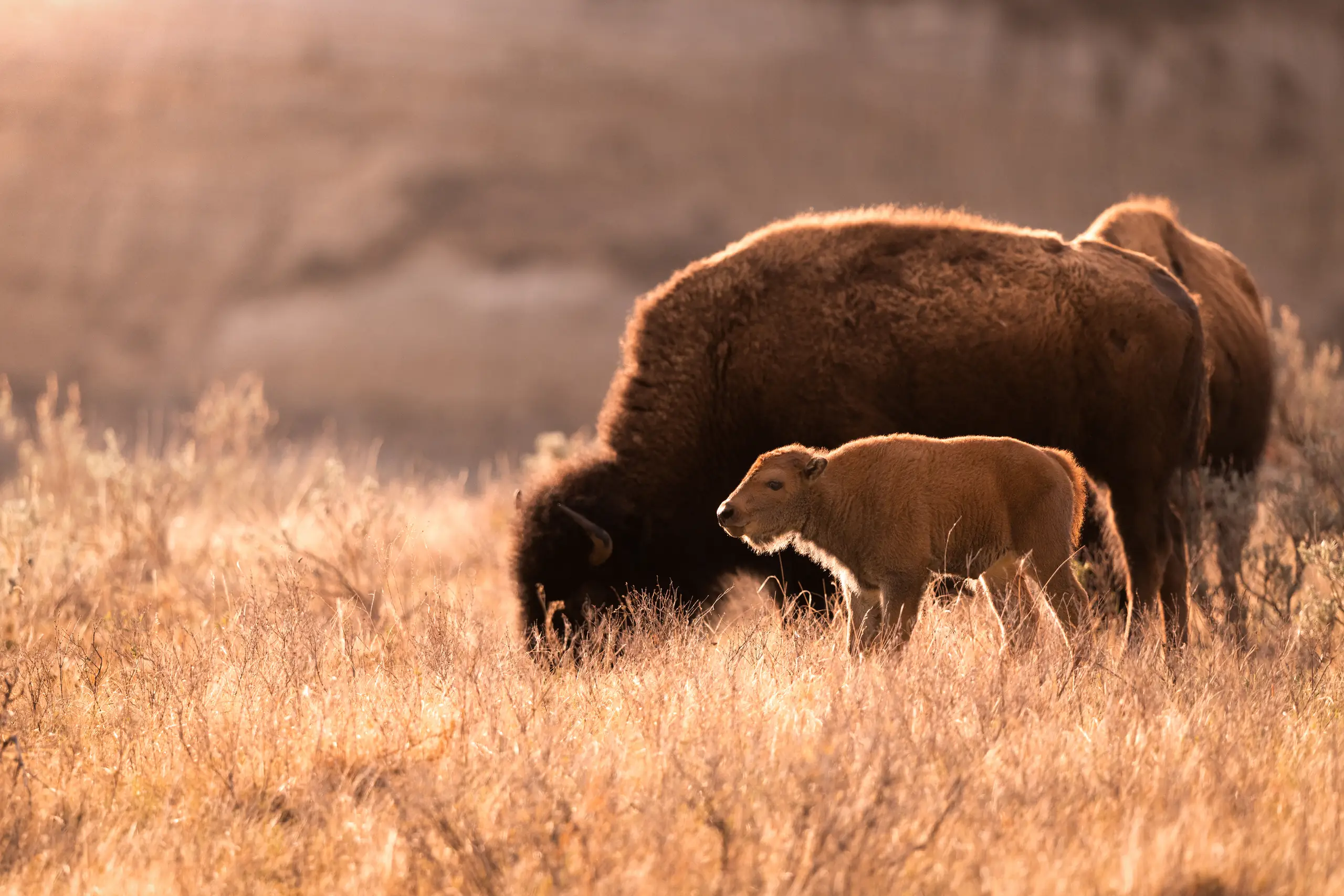
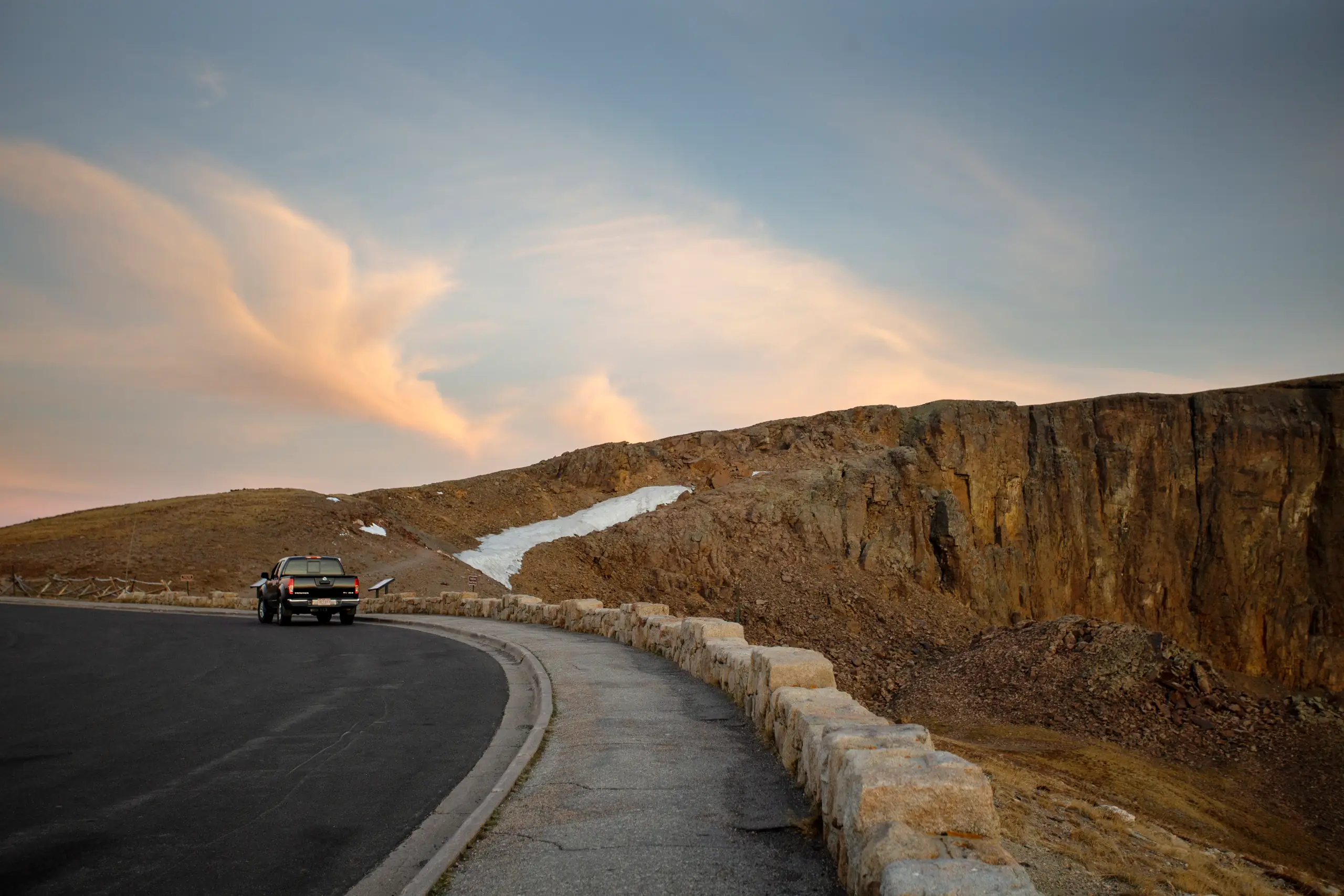
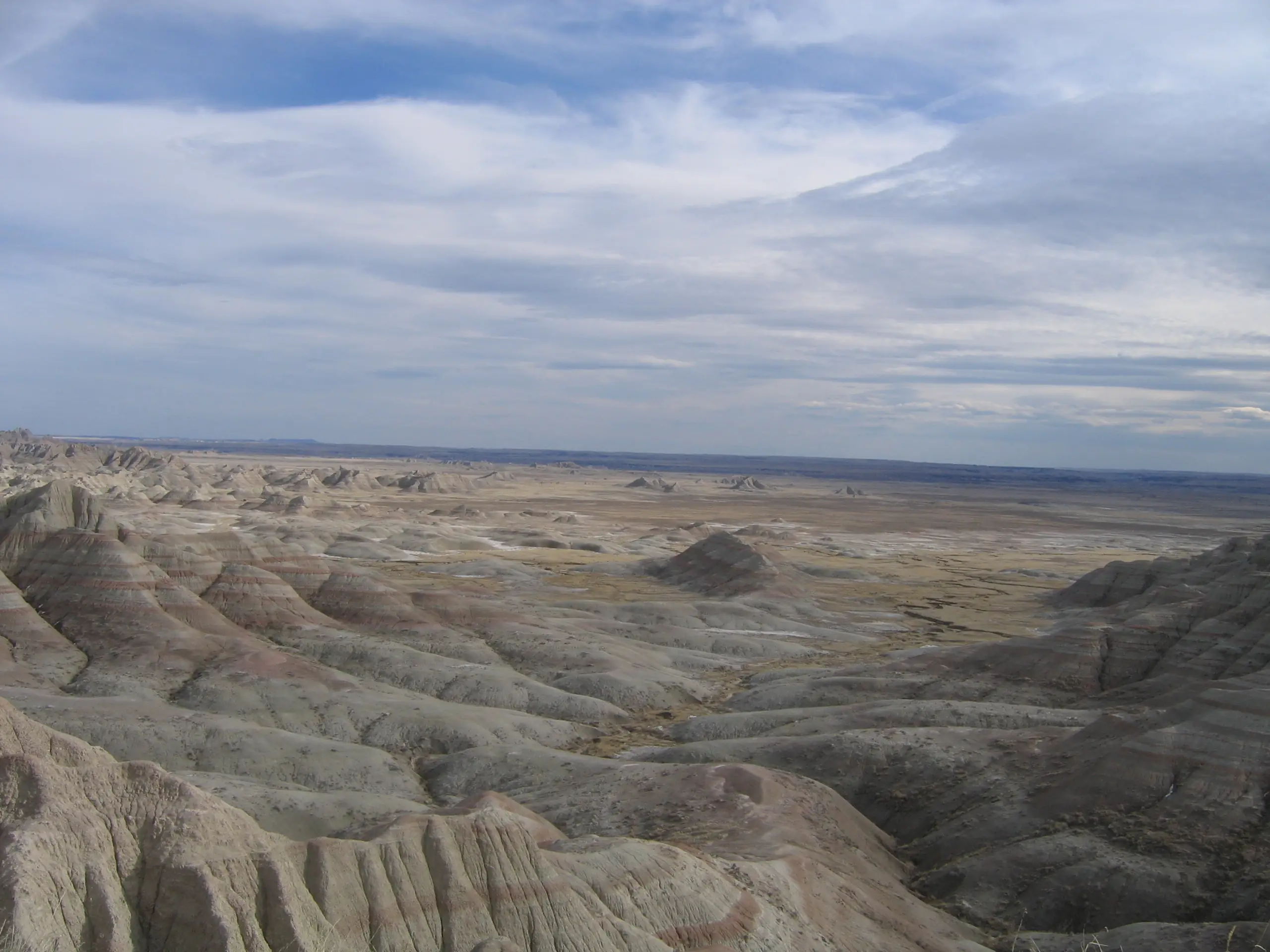
Every photo is a surfaced scenic lookout on a real road, shot by the National Park Service and linked straight to its page — open one and plan the drive that passes it.


Pick a starting point, tell Byway what you enjoy — nature, local gems, culture, food, quiet places — and how much time you have. It hands back a route shaped around that, with stops you can add or drop before handing turn-by-turn to your maps app.
Drop a pin where you are. Byway surfaces the byways, stops, and overlooks worth the detour, auto-ordered into the shortest loop — or tap Surprise me and let it pick.
Plan a loop near meGive it a start and a destination. Byway draws the scenic way between them — pulling in official byways along the route.
Plan A → BChain it into a multi-day loop — several byways and parks stitched into one week on the road, an overnight stop anchoring each day.
Plan a multi-day loopEvery one hands back a byway — real places you can reorder, drop or keep, built from the official byways below.
Our own turn-by-turn comes with the app: your exact plan becomes the navigation — on your phone, and in the car — with a voice between the turns.
Eight days through Montana and Wyoming, June 19–26 — Bozeman out over the Beartooth, down through Yellowstone and the Tetons, and back. This is an AI byway: the engine stitches an official All-American Road together with the parks and extends it across the loop.
Multi-day planning is live — plan this exact loop in the app. Every leg snaps to real roads; the Beartooth stretch carries the official All-American Road.
As your day unfolds, Byway narrates it — Mark Twain’s line as you roll up to Waimea Canyon, the taro-farming history as you drop into Hanalei Valley. Four voices to choose from — Storyteller, Historian, Naturalist, Local — and every stop is written fresh from verified facts, never one it can’t back. Zero hallucinations. Live in the app today; human and local narrators, next.
A mile deep, 14 miles long · 800 m ahead
“Mark Twain called it 'the grandest view of nature.' A mile deep, carved by the Waimea River over four million years. In eight hundred metres you'll round the bend to your first lookout.”
Take Anini Beach. Before it landed on a Kauaʻi day, 47 locals vouched for it — and the pin traces to a real map record, not a guess. Every pin Byway drops carries a file like this, because “hidden gem” shouldn’t mean “we made it up.” Locals weighted first. 47 locals
Reef's wide, no break, still quiet in July.
“Reef's wide, no break, no crowd. Come before the trades come up — and leave when the aunties arrive.”
A local who has driven a road a hundred times knows what the record cannot: which pull-off is worth the extra mile, when the light is right, where to eat afterwards. On Byway Marketplace they share that as a byway you can actually drive — some free, some paid, the way the best local guides have always worked. Whoever made it sets the price and keeps 70%; Byway charges nothing to list. Payouts and seller verification are next — we are not calling it done until the money moves.
Loneliest Road in America
$7Nevada · Utah · 29 stops · 784 mi
Creator payouts and seller verification are still coming — the split is set, the money does not move yet.
Use your maps app for turn-by-turn. Use Byway to decide what’s worth experiencing along the way. Other tools give you the fastest line or an invented itinerary; Byway reads every signal that makes the journey yours — taste, verified places, weather, hours, locals, companion — and only ships real places. Twelve capabilities; Byway is the only one that does all twelve, and it says plainly which part of the last one is still being built.
| Byway | Google Maps | ChatGPT | Roadtrippers | |
|---|---|---|---|---|
| Scenic route, built for your taste | ||||
| Only real, verified places (zero hallucinations) | ||||
| Learns your taste across every trip | ||||
| Reads live weather into the route | ||||
| Resequences stops for opening hours | ||||
| Locals weighted over crowd noise | ||||
| Every designated scenic byway in the atlas, from its official record | ||||
| Show me around · A → B · a multi-day loop | ||||
| Hands turn-by-turn to your maps app | ||||
| Narration of stops & routes | ||||
| Explains why it picked each stop | ||||
| Build & sell your own byways |
Building and selling your own byway is live: any creator in the beta can publish a complete Byway, set it free or paid, and travelers buy today — pricing one takes a paid plan at launch, publishing free never will. Creator payouts and seller verification are still coming, so that row is ticked for what ships, not for what is finished. Everything else, narration included, ships with Byway v1.
Build my routeA byway is one object, and there are four ways it comes to exist: designated by an authority, planned by the engine, learned from you, or authored by the people who live there.
Every designated scenic byway, drawn straight from the record of the authority that designated it — the US federal record to Norway’s Nasjonale turistveger.
863 routes · 8 countries
Browse the directoryNot a guess. The engine reads the road itself — official geometry, verified stops, opening hours, weather, daylight — and plans a drive that holds together. Ask again tomorrow and you get the same road.
Plan a drivePointed at one traveler: you. It learns from the roads you keep and the stops you linger at, and the model it builds is yours alone — every drive it offers lands closer to the one you would have picked yourself.
See your compassLocals and creators author their own byways and price them — travelers buy today. Creator payouts, next. Locals weighted first.
Publish yoursThe engine extends the official roads. Locals author their own. And the more you drive, the more we learn your preferences — personalizing every road we hand back.
863 designated and signed scenic routes, drawn from the records of the authorities that designated them — the US federal record, Norway's Nasjonale turistveger, Québec's routes touristiques, and more — across 56 states and territories. Verified, not invented.
Product access is in US private beta; the atlas is global today. Where Byway works
BywaysEvery designated scenic road, drawn from the federal record.Acadia Scenic Byway · National Park Service
LookoutsScenic overlooks with real photos and provenance.Diablo Lake Overlook · National Park Service
CampgroundsSites, fees and hours, straight from the Park Service.North Rim Campground · NPS Photo
Visitor centersWhere a park starts, and when the doors are open.Rim Visitor Center · NPS photoPlan a route that fits your time, interests, and sense of adventure — and remember how you got there, not just that you arrived. The web app is live, free while Byway is in beta. Native apps are close behind, and Byway’s own turn-by-turn navigation — CarPlay and Android Auto included — is on the way.